
TARGET 120926
THE TIPP-ELIZABETH BRIDGE
As it was back then.NOTE TO VIEWERS: This target was chosen by Teresa Frisch for the Wednesday night free webinar * she holds on a bi-weekly basis. We at PSI use the targets she selects for this day so the viewers who participate in her Wednesday evening webinars will not wind up getting two different targets with the same set of coordinates.
Videos of all of Teresa's webinars are available on YouTube
This target was the bridge that spans the Great Miami River on Tipp-Elizabeth Road, Tipp City, Miami County, Ohio. She gave this target as a practice to teach a viewer how to move in time in order to detect and describe changes.
If you looked at the tasking for this week's target, you saw that your task was the same time movement, in hopes of teaching you the same. (If you are not working with a monitor, then you should ALWAYS look at or ask for the tasking to see what is expected of you in the remote viewing session. The tasking tells you what type of information an imaginary customer would want you to do for him/her. It is not pollution unless it tells you something about the target. If you are working with a monitor, the monitor should look at or ask for the tasking, instead.)
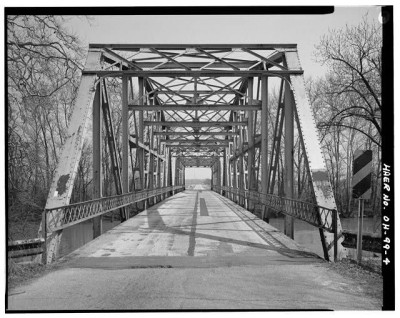
Looking along the road
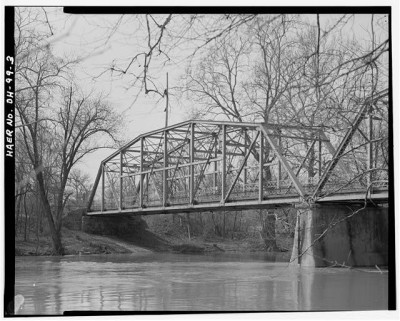
The bridge was built in 1926 and named the "Pennsylvania through truss bridge". The picture above was taken in 1956. After 30 years of use, it was falling apart. Note the holes rusted out of the left brace and the condition of the roadway floring.
The end anchor points were missing bricks and in danger of crumbling.
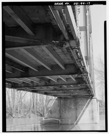
The center anchor had 30 years of water erosion and
cracking from expansion and contraction through hard winters.When the old bridge was inspected:
the substructure got a rating of 3 on a scale of 0 to 9.
the superstructure got a rating of 3 on the same 0 to 9 scale.
the roadway condition got a rating of 4 on the same 0 to 9 scale.
the overall condition got a rating of 9.4 on a scale of 0 to 100.
The bridge carried an average of 2000 cars per day, making it a disaster just waiting to happen.
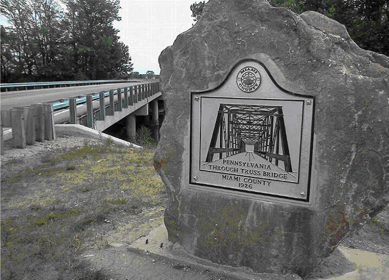
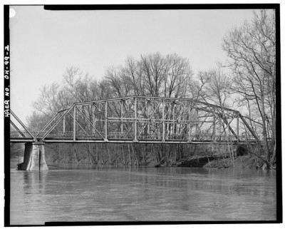
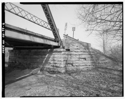
The bridge as it is today.So, in 1957, the bridge was replaced by a more modern and much safer bridge. This one is supported by columns that are sunken deeply into the riverbed (see picture, above). There are no overhead trusses.
A flatter, more stable roadway.Both the old bridge and the new one span 295.0 ft. (90 meters). The roadway on each was/is 17.4 ft (5.3 meters) wide.
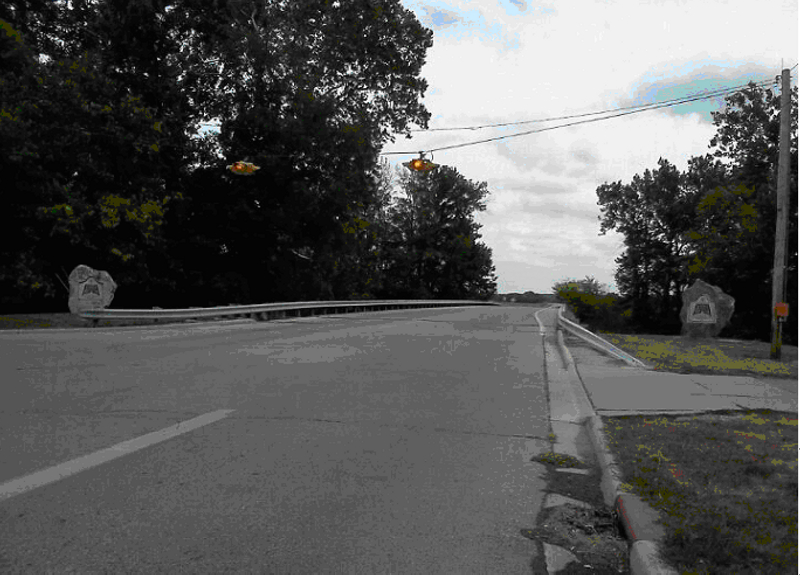
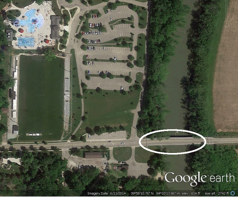
For those who viewed the surrounding location, the following pictures, combined with the feedback map should be suitable for judging your perceptions.
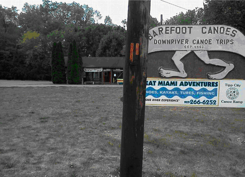
Canoe rentalsComing out of town (left to right on the feedback map), right before you reach the bridge, there is a canoe rental shop on your right that rents canoes, kayaks, innertubes, and fishing supplies.
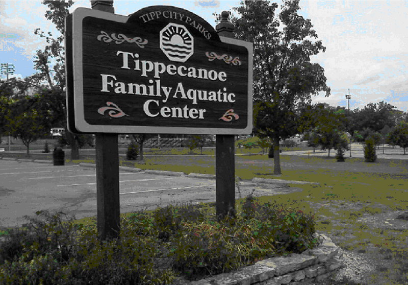
A family aquatic and recreation center is across the road.On the left is a large family aquatic center (see the feedback map for an overhead view).
FEEDBACK MAP
If you got impressions for which this feedback is insufficient, please take a look at the following web sites for more:
BridgeHunter.com (Source for pictures of the old bridge and data.)
Family Aquatic Center website.
Barefoot Canoes website.
Many thanks to Teresa Frisch for this target.
Pictures of the old bridge from BridgeHunter.com (fair use for training purposes - retrieved 9/1/2012)
All pictures of the new bridg and surrounding location were provided by Teresa Frisch.