
TARGET 080827
Safe Harbour
(for Subs)
Balaklava, Sevastopol, Ukraine
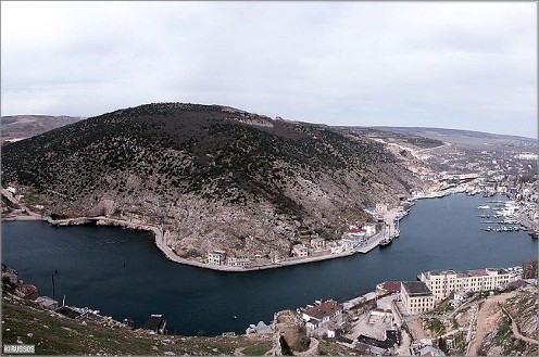
In the early 1950’s Joseph Stalin ordered the soview military to build an underground submarine base inside a mountain, to make it safe from nuclear attack. The mountain you see in the top picture seemed to be perfect for the location. It is solid, hard rock, and not in a tectonicly unstable area.
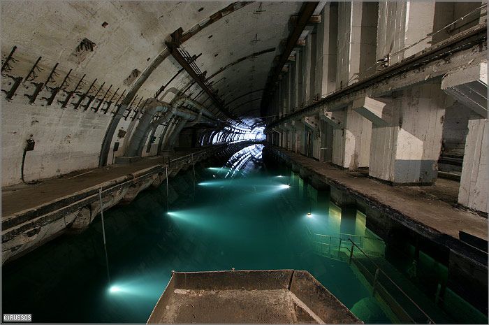
The base was completed and entered military service in 1961. If you look at a closeup section of the picture, (below) you will see what military photo analysts (like Mel Riley) look for when they examine photos from "spy in the sky" satellites.
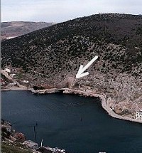
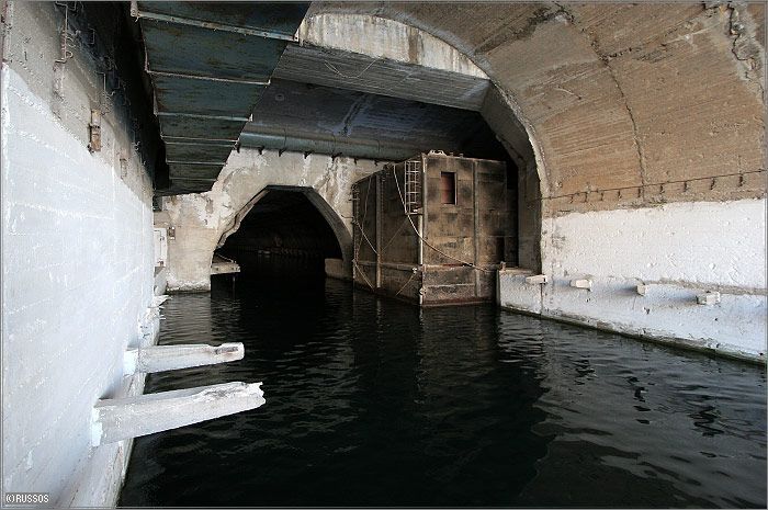
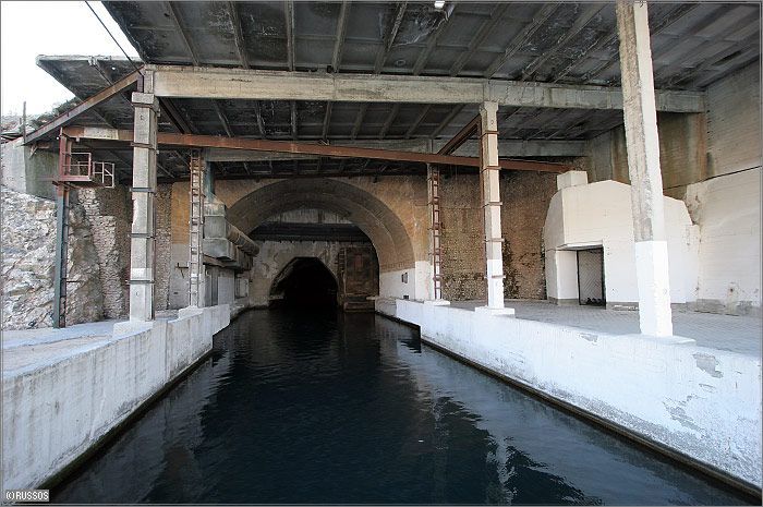
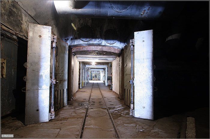
That is the submarines' exit point from the underground base. A ground-level picture of it looks like this:
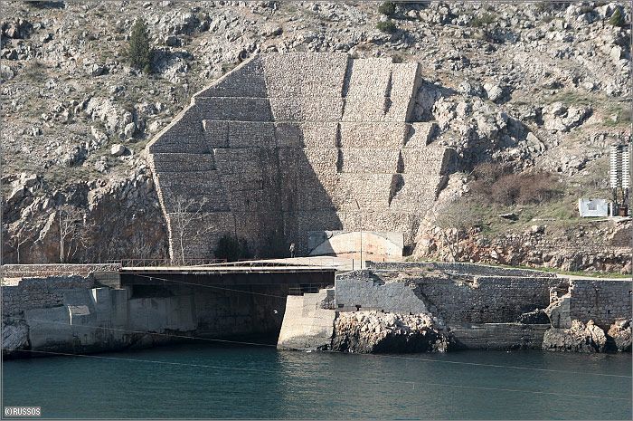
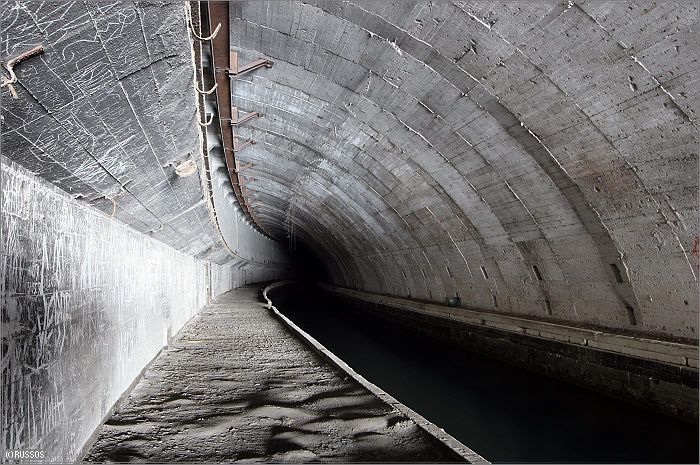
And further around the mountain, there is the entrance (shown below), this one for both the submarines and the humans who worked in the base inside the mountain.
For the advanced remote viewers who worked this target, a timeline of the base would look something like this:
Early 1950's - 1961: Blasting, tunnelling, contstruction, etc.
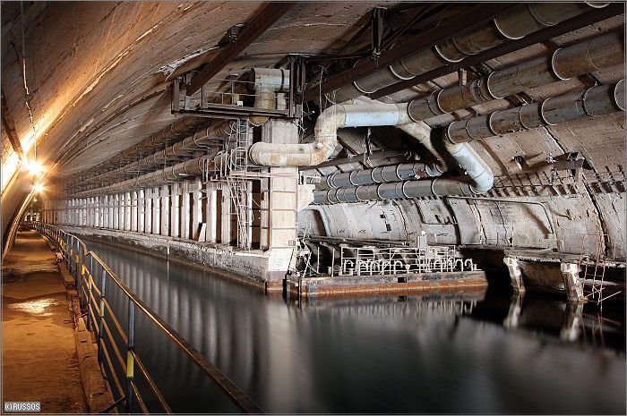
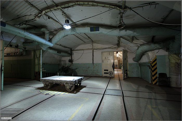
1961 - 1993: military operations consisting of servicing, maintaining, quality checking and repair. During that period, the town of Balaklava was one of the most secret residential areas in the Soviet Union. Almost the entire population of Balaklava worked at the base; even family members could not visit the town without a good reason and proper identification.
1993 - 1996: The base remained operational after the collapse of the Soviet Union in 1991 until 1993 when the decommissioning process started. This process saw the removal of the warheads and low-yield torpedoes.
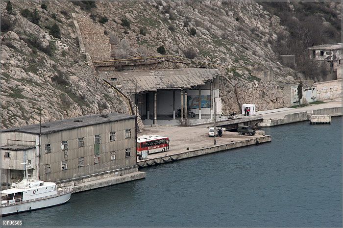
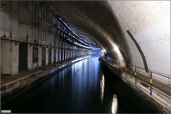
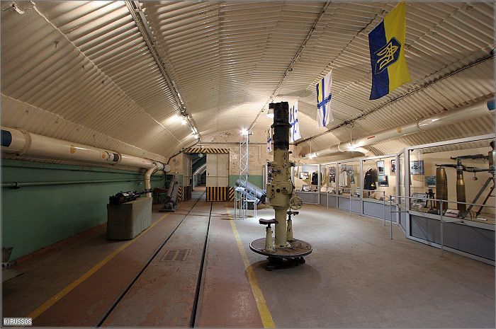
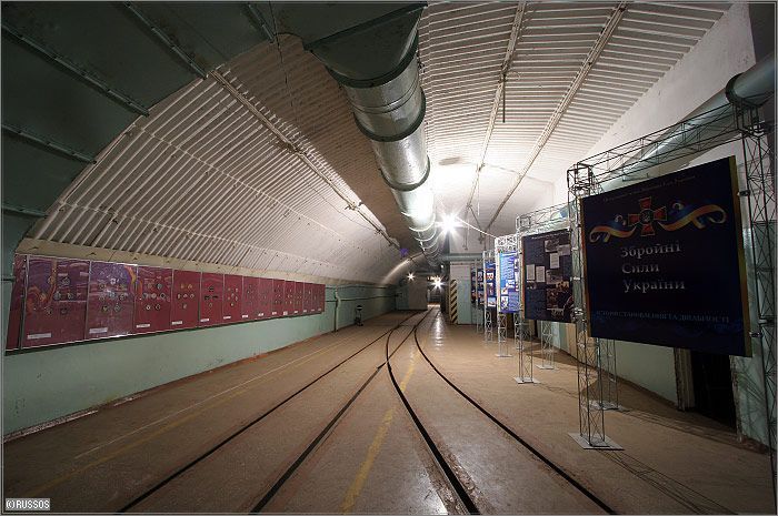
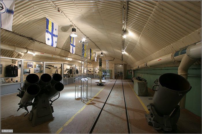
1996 - present: In 1996, the last Russian submarine left the base, which then became open to the public for guided tours around the canal system, the base, and a small museum, which is now housed in the old ammunition warehouse deep inside the mountain (see picture, below)
FEEDBACK MAP
If you gained information in your session which was not covered in the feedback, please take a look at these sites:
Many thanks to Ray McClure for suggesting this target, as well as doing the initial programming for the page.
More info on Sevastopol
Click here for more photos & information from Wikipedia
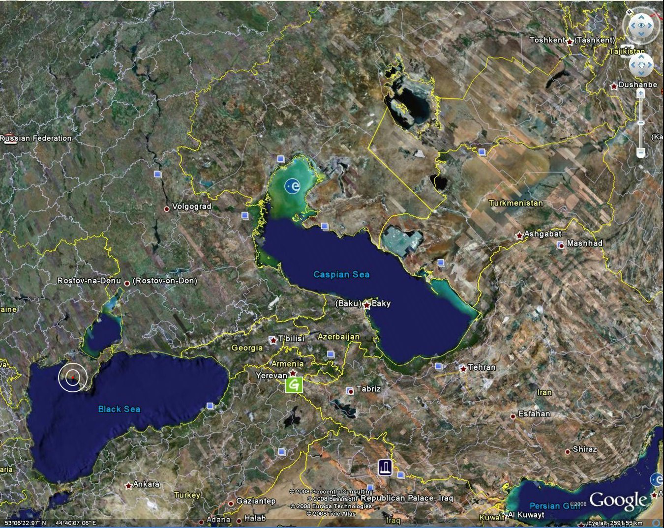
Also - If you go to Google Earth and enter the following coordinates, you can get a better idea of the area
44º 29' 46.81" N
33º 35' 37.04" E